
Exploring New Depths: Florida’s Seafloor Mapping Initiative Unveils Hidden Marvels
The vast and intricate underwater landscapes of Florida are being unveiled like never before, thanks to the groundbreaking Florida Seafloor Mapping Initiative (FSMI). Spearheaded by the Florida Department of Environmental Protection (DEP), this initiative is setting a national precedent by mapping the state’s coastal waters extensively, with completion expected by fall 2026.
These previously unknown mesophotic coral reefs located more than 50 kilometers offshore of Pensacola exist well outside of Florida’s Coral Reef along the Atlantic Coast, offering new insights into deepwater habitats and helping guide reef protection and coastal planning.
TALLAHASSEE, Fla.—Florida’s expansive coastlines are vital to its economy and environment, influencing everything from tourism and fisheries to infrastructure. Understanding these underwater terrains is crucial, as noted by DEP Secretary Alexis A. Lambert, who emphasized the importance of “smart decisions about protecting communities, strengthening resilience, and investing taxpayer dollars where they will have the greatest impact.”
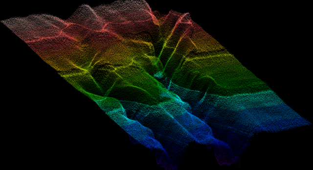
The FSMI employs cutting-edge technology to achieve its goals. Airborne LiDAR systems are utilized to scan shallow waters, while vessel-based multibeam sonar offers high-resolution maps of deeper areas. This data is instrumental in various management strategies, including locating offshore sand sources, enhancing flood modeling, and guiding coral reef and seagrass bed protection efforts.
Significant progress has been made, as highlighted by Florida Geographic Information Officer Kimberly Jackson: “Through FSMI, we have mapped more than 75,500 square kilometers using LiDAR and more than 64,000 square kilometers using sonar technologies.” This massive undertaking expands Florida’s mapped seafloor from 25,600 square kilometers to an unprecedented scale.
Early data from this initiative is already shedding light on Florida’s underwater features, revealing ancient shorelines and submerged river channels. Notably, scientists have discovered mesophotic coral reefs, which thrive in deeper, low-light environments. Working with the National Oceanic and Atmospheric Administration, researchers are using remotely operated vehicles to study these reefs further, assessing their role in marine biodiversity.
FSMI’s comprehensive data is being integrated with inland elevation datasets, thanks to a collaboration with the U.S. Geological Survey’s Coastal National Elevation Database Applications Project. This integration aims to create a seamless digital elevation model that spans Florida’s terrain from uplands to ocean depths, providing critical insights for infrastructure planning and environmental resilience.
For further details on the Florida Seafloor Mapping Initiative, visit FloridaGIO.gov.
These newly discovered paleoriver channels near Miami help explain patterns in sediment movement, habitat distribution and coastal erosion, giving scientists and planners critical information to guide future beach restoration, habitat protection and resilient infrastructure projects.
Read More Here