
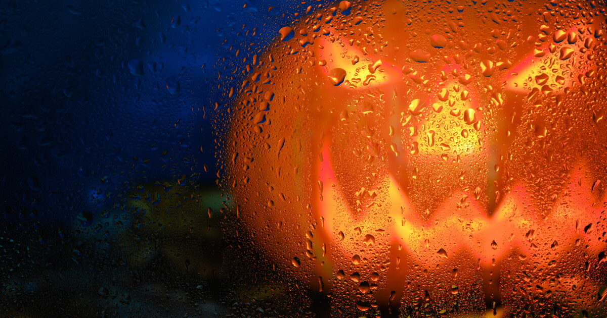
Halloween trick-or-treating in Phoenix might come with more than just candy this year — forecasters are watching a string of storm systems that could bring rain to the Valley right through the weekend. For a city that hasn’t seen a rainy Halloween since 1987, this week’s weather pattern is worth paying close attention to.
National Weather Service meteorologist Gabriel Lojero says the setup is driven by elevated moisture levels moving into Arizona and Southern California beginning Friday, the result of strong El Niño conditions in the Pacific that have already delivered several storms to the region this October.
“There’s a potential for multiple days of rain across the area, so it looks like it’s going to be an unsettled weekend,” Lojero said.
The good news for families with Halloween plans: Saturday — the actual holiday — currently shows the lowest rain chances of the stretch. The National Weather Service puts the best odds for rain on Friday (80% chance) and Sunday (70% chance), with Saturday holding at just a 30% chance during the day, though that ticks back up to 50% Saturday night.
Still, meteorologists caution that pockets of thunderstorms and heavier rainfall will be possible across the Valley, and it remains too early to pin down precise totals for the week. Sunday looks to be the wettest single day, with potential rainfall between half an inch and three-quarters of an inch.
Day-by-Day Forecast for the Phoenix Valley
Tuesday and Wednesday bring sunny skies with highs near 86°F — a typical late-October Arizona afternoon with light east winds around 5 mph. Thursday stays mostly sunny through the day (high near 86°F), but showers become likely Thursday night after 11 p.m., with a 50% chance of precipitation and possible accumulation between a tenth and a quarter of an inch.
Friday brings the first significant rain event, with showers and possible thunderstorms pushing the high down to around 77°F. Precipitation chances climb to 80%, with expected rainfall between a quarter and half an inch.
Saturday offers a partial reprieve — partly sunny with a 30% daytime rain chance and a high near 77°F — before clouds return Saturday night with a 50% chance of showers. Sunday closes the stretch with likely showers and possible thunderstorms, mostly cloudy skies, a high near 71°F, and the week’s heaviest projected rainfall totals.
A Bigger Weather Story Across Arizona
This latest storm system arrives amid a notably active October for the Southwest. Heber-Overgaard was struck by a confirmed tornado last week, leaving the Mogollon Rim community with heavy damage. Meanwhile, the Four Corners region has been grappling with ongoing flooding, triggering evacuations and water rescues across multiple days. Rescues were also reported on the Navajo Nation and in New Mexico as officials braced for additional flooding.
Meteorologists point to a super El Niño supercharged by climate change as the driving force behind the recent wave of extreme weather events hitting Arizona. On the political front, State Rep. Walt Blackman has called on Gov. Katie Hobbs to declare a state of emergency for parts of Arizona hit hardest by severe weather and flash flooding this week.
Phoenix residents planning Halloween activities are advised to keep a close eye on updated forecasts from the National Weather Service as the week progresses, since storm timing and rainfall amounts could shift ahead of Saturday night.









Comments are closed.