
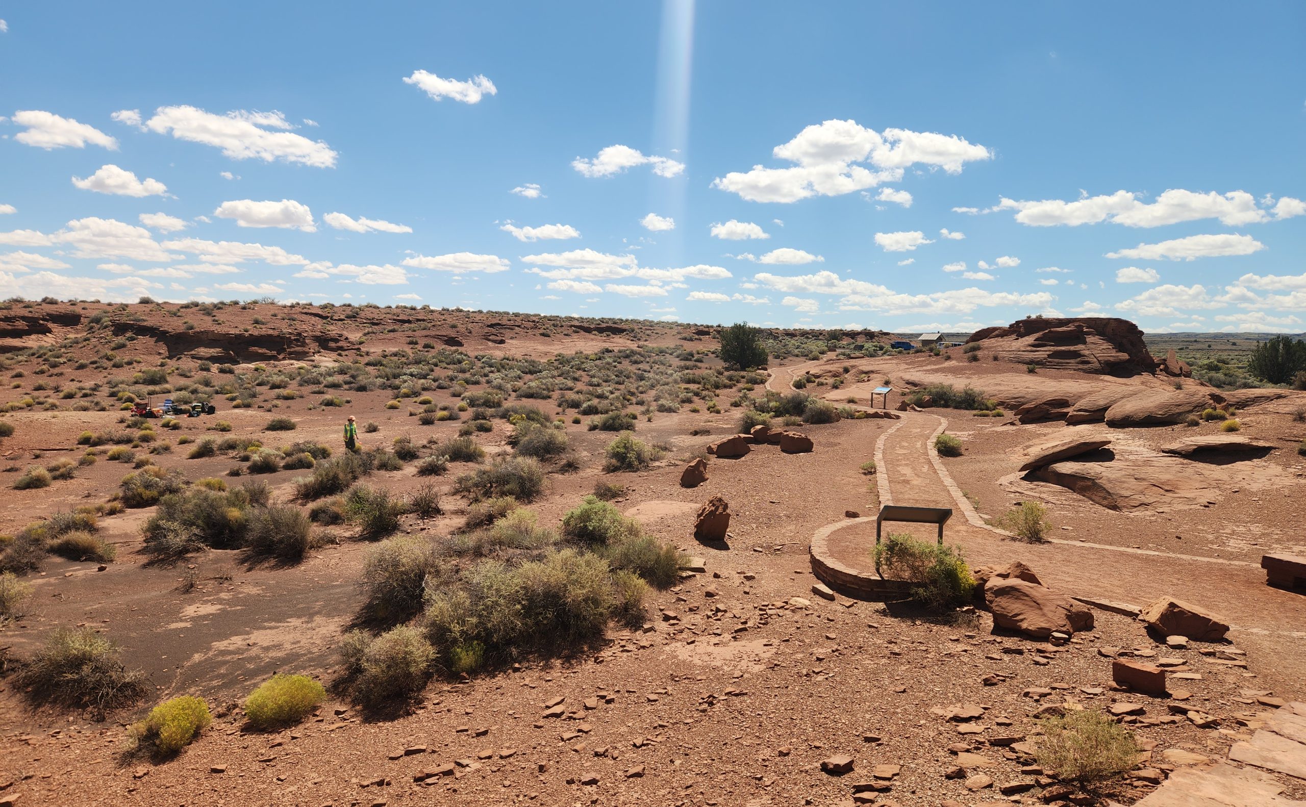
In a collaborative effort to preserve history through modern technology, a team from Northern Arizona University’s Department of Anthropology and the Radiant Center for Remote Sensing is working with the National Park Service (NPS) to document Wukoki Pueblo. Located in Wupatki National Monument, this initiative aims to create a comprehensive digital record of the site, making it accessible to a global audience.
Project Overview
NAU’s Radiant Center for Remote Sensing and a team led by Assistant Professors Kaitlyn Davis and Kellam Throgmorton, along with nine graduate students, are documenting the architectural features of Wukoki Pueblo. This work involves capturing detailed imagery to assess the condition of the site’s ancient walls and structures. The data collected will help in creating interpretive materials for the NPS, including potential 3D models for educational and visitor engagement purposes.
“One of our goals is getting some better baseline information on the condition of the walls, what they look like and what kind of shape the structure is in,” Throgmorton stated. “Our second goal is to get images we can use for interpretive purposes so the NPS can take these images and use them in various kinds of visitor experiences and maybe host some 3D models on their websites based on the data we collect.”
Research and Technology
The team utilized advanced technology over a three-day visit to the site, employing high-accuracy GPS units and drones for thermal and visible light imagery collection. The project’s success was partly due to NAU’s fleet of drones, which are authorized for use on federal lands. “Those are the drones that are permitted on federal land projects,” Davis explained. “NPS was really excited to partner with NAU and to help us provide an opportunity to train more students in those skills.”
Students gained hands-on experience, navigating the complexities of permits and clearances necessary for drone operations on public lands. “I had never done any remote sensing before, so I was mostly there to learn,” said Cleo Payne, a first-year master’s student. The team also used terrestrial laser scanners to capture panoramic imagery, acquiring approximately 50 gigabytes of data to document the ancient structure comprehensively.
Graduate student David Crumpacker emphasized the project’s educational value, noting, “Projects like this are great because they combine student education and public outreach. This project provides a unique opportunity to expose students to methods used in archaeology that are not typically taught in a classroom.”
Next Steps
Following the completion of the fieldwork, NAU will deliver a series of products to the NPS. These deliverables will be developed in consultation with tribes affiliated with Wukoki Pueblo to ensure they reflect tribal histories and knowledge. Throgmorton highlighted the importance of non-invasive documentation, stating, “The field of archaeology has shifted to doing a lot more preservation-minded work and thinking about how we can document things in a way that is relatively non-destructive and non-invasive.”
This collaboration not only advances the preservation of cultural heritage but also equips students with valuable skills for their future careers in archaeology.
Read More Here









Comments are closed.