The Arctic, often regarded as a distant and isolated region, plays a crucial role in the global climate system. Changes occurring there are not confined to its icy realms but ripple across the planet. This is why the latest research initiative spearheaded by Northern Arizona University (NAU) scientists is garnering significant attention. They’ve developed the first high-resolution maps showcasing plant biomass and woody plant dominance in the Arctic, setting a baseline for the year 2020.
This ambitious project utilized satellite imagery, machine learning, and data from over 600 field sites. These maps provide intricate details of Arctic vegetation, shaped by climate conditions, topography, and historical disturbances. Such information is vital for future carbon accounting, conservation efforts, and climate modeling.
“The Arctic is a bit of a canary in the coal mine for climate change and has impacts across the rest of the globe, including right here in Arizona,” stated Katie Orndahl, a research scientist at NAU and lead author of the study, which appeared in Remote Sensing of Environment. “The Arctic is ground zero for climate tipping points—thresholds which, if crossed, will likely lead to irreversible, abrupt and dangerous impacts.”
This comprehensive study involved 49 researchers across 34 institutions in six countries, including Logan Berner, an assistant research professor at NAU and the second author on the paper, along with Regents’ Professors Michelle Mack and Scott Goetz.
What was achieved and its significance
The research builds upon earlier work by Berner and Orndahl, which compiled field data from global collaborators. Orndahl led the modeling work, gathering satellite data, fitting models, mapping biomass, and analyzing data patterns. Berner emphasized the importance of data integration for this project.
“The Arctic is undergoing rapid environmental changes that are impacting plant biomass, but until now, we lacked a detailed understanding of this fundamental ecosystem attribute, let alone how it’s changed in recent decades,” he explained.

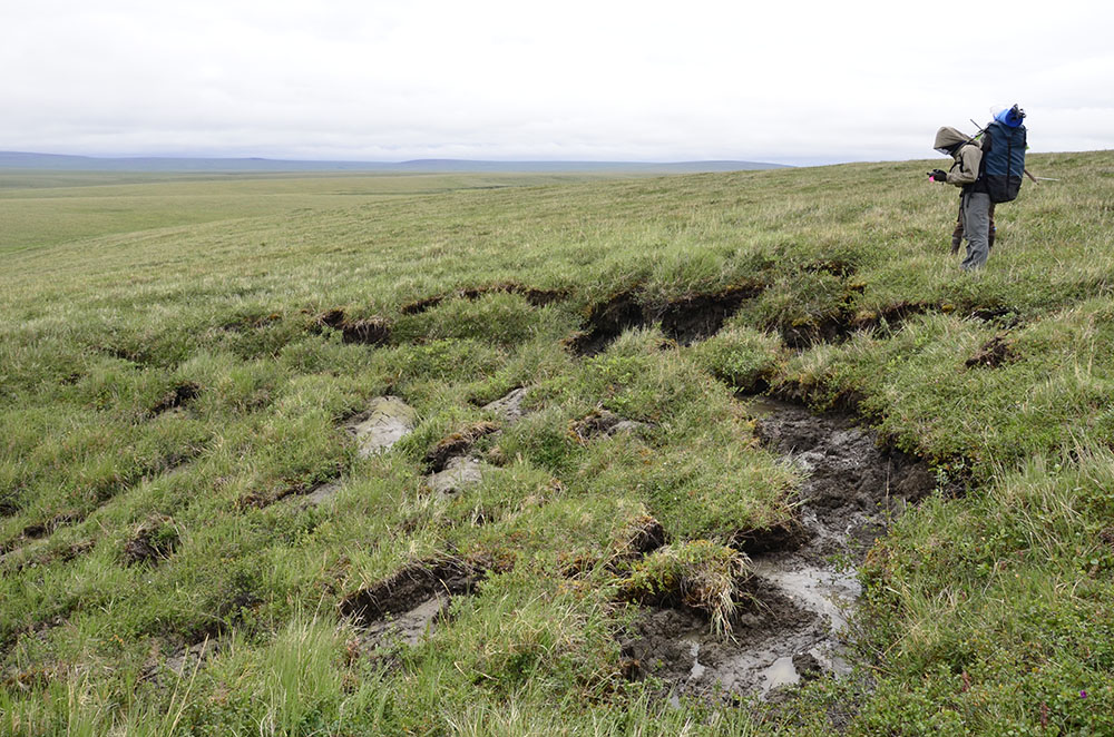
Beyond establishing a 2020 baseline, the maps allow scientists to explore various regions of the Arctic biome virtually, offering insights into ecological processes and aiding decision-making. “The maps capture the legacy of disturbance across the Arctic, revealing scars left by permafrost thaw slumps, traces of human development and the patchwork of wildfire across the region,” Orndahl stated. “We hope these maps can be useful for a diverse set of applications and users including but certainly not limited to wildlife habitat models, carbon flux upscaling, fire fuels mapping and as input to large ecosystem or land-surface models.”

Heidi Toth | NAU Communications
(928) 523-8737 | [email protected]
Read More Here


Be First to Comment